

How much time, road space and patience could a city save if drivers knew where to park before they reached the block?
A smart parking system connects occupancy data, guidance, payment and operations so drivers can make better arrival decisions and transport teams can manage capacity with evidence. It becomes most valuable when parking is treated as one part of a connected mobility journey rather than an isolated facility.
This guide covers the system architecture, data, customer experience, pricing, accessibility, AI, simulation and KPIs needed for a dependable rollout. It builds on the broader operational approach in Mimic Mobility's transport simulation work.
Table of Contents
What Is a Smart Parking System?

A smart parking system combines occupancy detection, connected infrastructure, software and traveler information to help people find, access and pay for parking. For operators, it creates a live view of demand, availability, turnover, equipment health and enforcement conditions across streets, garages, stations or mobility hubs.
The system is more than a map of empty spaces. A useful deployment connects physical bays with reliable identifiers, timestamps, pricing rules, accessibility information and operational workflows. It must distinguish a genuinely available space from a stale sensor reading, a reservation, a loading zone or an out-of-service bay.
Parking also sits inside a larger transport network. Arrival demand changes with traffic, transit disruption, events and weather. The same network geometry, counts and probe feeds used in traffic simulation can help teams understand when parking guidance will reduce circulation and when it may simply move congestion elsewhere.
A successful system gives drivers clear choices while giving operators evidence for pricing, maintenance and planning. The goal is a shorter, more predictable arrival journey and a better use of limited curb and facility capacity.
Build the Data and System Architecture
Start with a consistent parking inventory. Each bay or zone needs a location, type, operating hours, restrictions, accessibility status, pricing and ownership. Garages may also need floor, entrance, height, charger and permit information. Stable identifiers let sensors, payment records and customer interfaces refer to the same real-world asset.
Occupancy can come from in-ground sensors, overhead cameras, barriers, payment events, vehicle probes or combinations of them. Each source has different coverage, latency and failure modes. Record confidence and freshness with the status so applications can avoid presenting uncertain data as fact.
The platform usually includes device management, event ingestion, an occupancy service, business rules, prediction, APIs, operator dashboards and customer channels. A mobility digital twin can mirror facilities, flows and rules, allowing planners to examine system behavior before changing the street or production platform.
Define ownership for every interface. Decide who corrects a broken bay record, who monitors sensor drift, who approves pricing and who responds when a payment or guidance service fails. Clear operational responsibility matters as much as technical integration.
Design Clear Driver Guidance and Passenger Journeys
Drivers need the right information at the right decision point. A citywide sign may show district availability, while an in-vehicle route can guide toward a specific facility. Inside a garage, aisle signs and bay indicators complete the journey. Every handoff should preserve the same destination, restrictions and availability state.
Avoid false precision. Sending several drivers to one reported space creates frustration and unsafe maneuvers. Guidance should account for travel time, prediction confidence, reservations and the number of other users receiving the same recommendation. Zones or probability ranges are often more useful than a promise about one bay.
Integrate walking and onward travel. The best parking option may be slightly farther away but closer to a station entrance, accessible route, charger or final destination. Mobility as a Service planning helps connect parking with transit, shared mobility and ticketing rather than treating the car park as the end of the journey.
Provide alternatives when capacity disappears. A good flow can redirect to another facility, suggest park-and-ride, update the estimated arrival time and explain price differences without forcing the driver to restart the search.
Connect Pricing, Payment and Accessible Parking
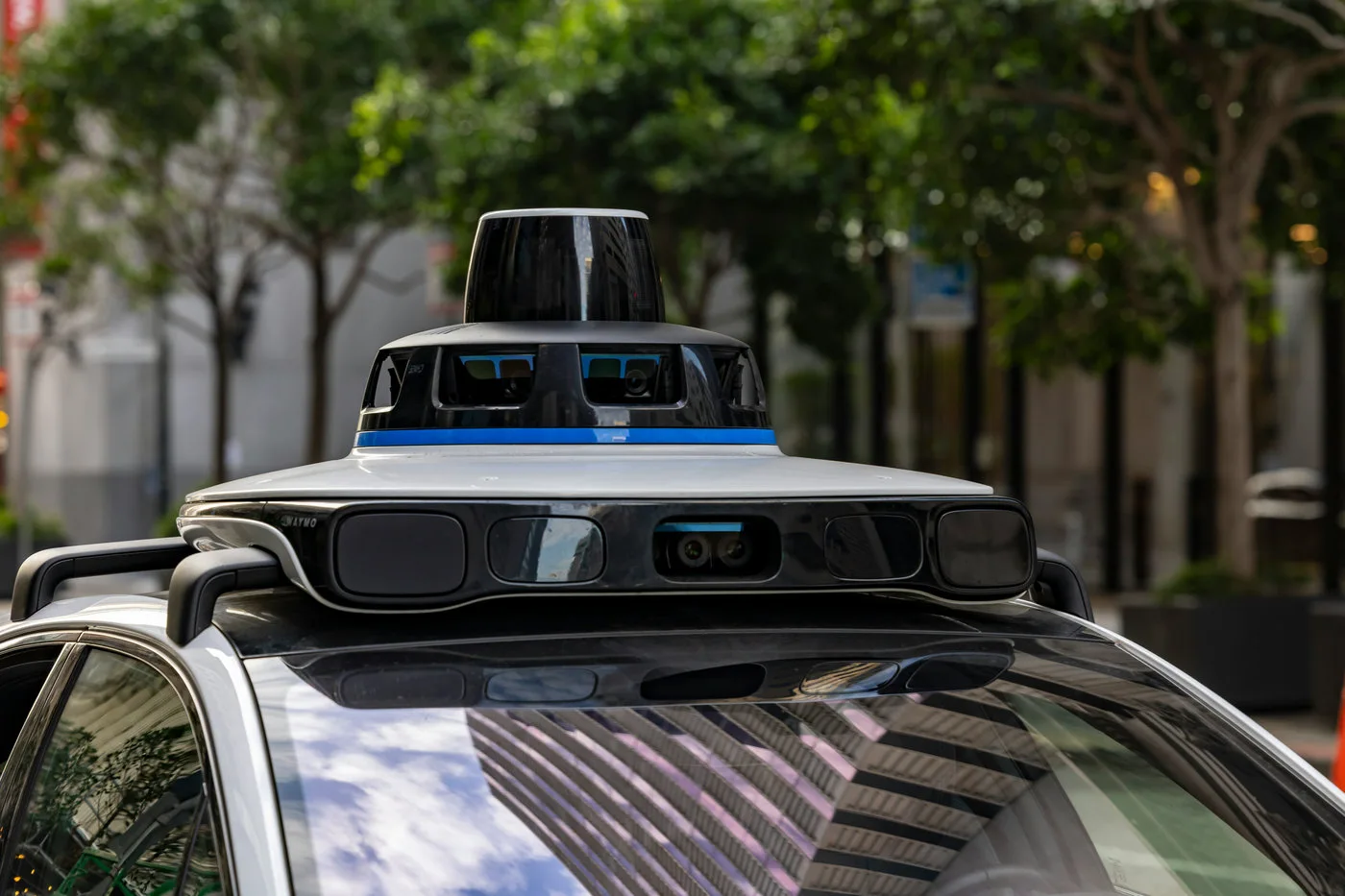
Dynamic pricing can balance demand when it follows transparent rules. Operators may vary rates by zone, time, duration, event or occupancy target. Publish the price before commitment, explain when it changes and keep customer support ready for disputes. Pricing should support policy goals rather than surprise users.
Payment options may include apps, contactless terminals, license-plate accounts, subscriptions or integrated mobility wallets. Design for visitors and people without smartphones as well as frequent users. A failed app, dead battery or poor connection should not turn a valid parking attempt into a penalty.
Accessible bays require accurate status and careful governance. Show route gradients, lift availability, entrance distance and relevant restrictions where possible. Do not expose personal eligibility information, and avoid using automated enforcement decisions without a review path.
Connected mobility services can carry parking status into the wider journey, including EV charging, navigation, assistance and service recovery. Shared identity and payment can reduce friction, but data permissions must remain specific and understandable.
Use Prediction and AI Without Losing Trust

Historical occupancy can predict which facilities or zones are likely to fill, how long spaces may remain available and when equipment needs attention. Useful models combine time, day, events, weather, traffic and local restrictions, then publish both the forecast and its confidence.
Recommendations should optimize more than the shortest drive. They can consider walking distance, price, accessibility, charger compatibility, congestion and the driver's stated preferences. An AI navigation assistant can use traffic, weather and vehicle data to update those choices as conditions change.
Guard against feedback loops. If every user receives the same recommendation, a quiet facility can become congested before the data catches up. Allocation, throttling and regular recalculation help distribute demand. Operators should also monitor whether guidance consistently disadvantages particular neighborhoods or user groups.
Keep explanations simple: why this option was recommended, how recent the data is and what happens if it becomes unavailable. Trust grows when the system communicates uncertainty honestly and offers a clear alternative.
Simulate and Test the Parking Operation
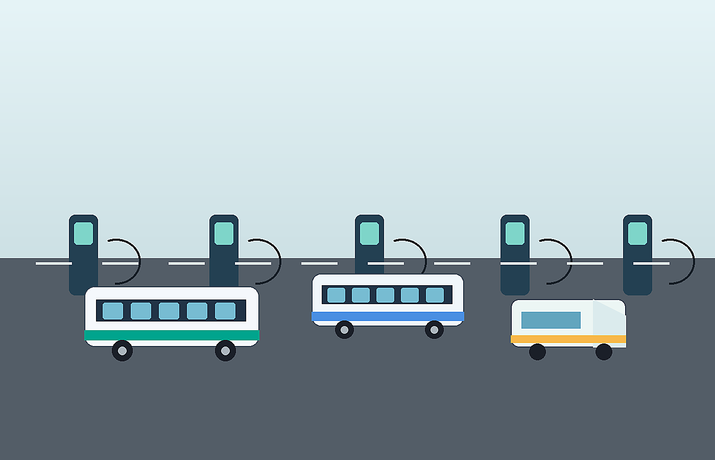
A parking pilot should be tested as an operation, not only as an app. Model arrivals, search behavior, entrances, queues, pedestrian crossings, payment, enforcement and exits. Include peak events, equipment faults, road closures and sudden capacity loss.
Transport simulation software can compare guidance policies before deployment. Teams can test whether routing reduces cruising time, shifts queues to another entrance or changes conflicts with buses, cyclists and pedestrians. The model also helps size signs, lanes, staffing and communications.
Use synthetic data for rare or sensitive conditions, such as emergency closures, sensor spoofing, unusual weather or a large event ending early. Synthetic mobility data supports repeatable testing when real observations are limited, provided the generated cases are validated against known behavior.
Test end to end with real devices and representative users. Check latency from sensor to sign, route updates, payment reconciliation, accessibility, language, privacy notices and staff recovery procedures. A technically correct component can still fail when the full journey is connected.
Launch a Pilot and Scale With Measurable KPIs

Choose a pilot area with a clear problem, manageable boundaries and enough demand variation to learn. Record a baseline for search time, occupancy, turnover, queue length, payment success, violations, complaints and operating cost. Without a baseline, a polished interface can hide weak operational results.
Measure data quality alongside customer outcomes. Track sensor accuracy, event latency, device uptime, stale records and mismatch between guidance and observed availability. For users, track successful arrivals, reroutes, abandoned searches, support requests and accessibility completion.
A real-time mobility digital twin can help operations teams rehearse incidents and compare response plans as the system grows. It also provides a shared view for parking, traffic, transit and customer-service teams during disruptions.
Scale only after the team can operate the pilot reliably. Standardize the bay model, device onboarding, APIs, monitoring, maintenance, privacy controls and reporting. Connect pedestrian flow around entrances and hubs so improvements for drivers do not create new conflicts for people walking or transferring.
Smart Parking System FAQ
What is a smart parking system?
A smart parking system uses connected sensors, software, guidance and payment services to show availability, manage parking operations and help drivers complete a more predictable arrival journey.
How does smart parking detect available spaces?
Systems may use in-ground sensors, cameras, entry barriers, payment events, vehicle probes or a combination. Reliable services also track timestamp, confidence and equipment health.
What are the main benefits of smart parking?
Benefits can include less cruising, lower congestion, better space utilization, more reliable enforcement, improved accessibility information and stronger evidence for planning and pricing.
Can smart parking work without an app?
Yes. Variable-message signs, in-vehicle services, contactless terminals, web interfaces and staffed support can provide alternatives. A resilient program should not depend on one customer channel.
How accurate are smart parking systems?
Accuracy depends on sensor type, installation, communications, maintenance and status rules. Operators should measure false occupancy, missed vehicles, latency and stale data continuously.
What data does a smart parking system collect?
Typical data includes bay status, timestamps, location, transactions, device health and aggregated demand. License plates or account details require stronger purpose limits, security and retention controls.
How does dynamic parking pricing work?
Operators change prices according to published rules such as time, occupancy, location or events. The rate should be visible before purchase and supported by clear dispute and accessibility policies.
Can smart parking support EV charging?
Yes. The platform can combine parking availability with charger type, operating status, reservation, expected dwell time and payment, while preventing bays from appearing available when charging rules apply.
How should a city test smart parking before rollout?
Start with a bounded pilot, establish baseline measures, simulate peak and failure scenarios, test end-to-end latency and payments, and observe real users before expanding.
Which KPIs show whether smart parking works?
Useful KPIs include search time, occupancy, turnover, queue length, guidance accuracy, payment success, device uptime, complaints, accessibility completion and operating cost.
Conclusion: Treat Parking as Part of the Journey
Smart parking works when accurate space data, clear guidance, fair payment and practical operations support the same journey. A measured pilot can prove whether the system reduces search time, improves capacity and protects access before a city or operator scales the platform.
The strongest programs also create a repeatable learning loop. Operators review accuracy, journey outcomes and incident reports, update the digital model, then test revised rules before releasing them. This disciplined cycle helps parking guidance respond to changing demand while keeping customer communication, accessibility and public policy aligned.
Ready to model connected parking, traffic and traveler behavior before rollout? Explore Mimic Mobility and discuss your simulation project.